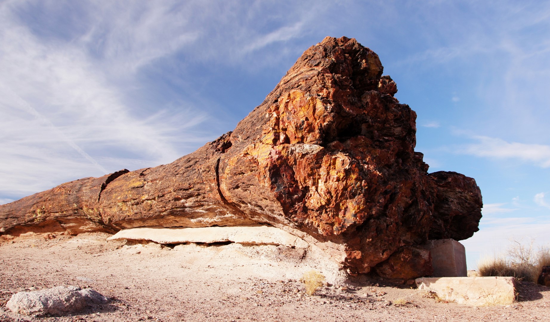
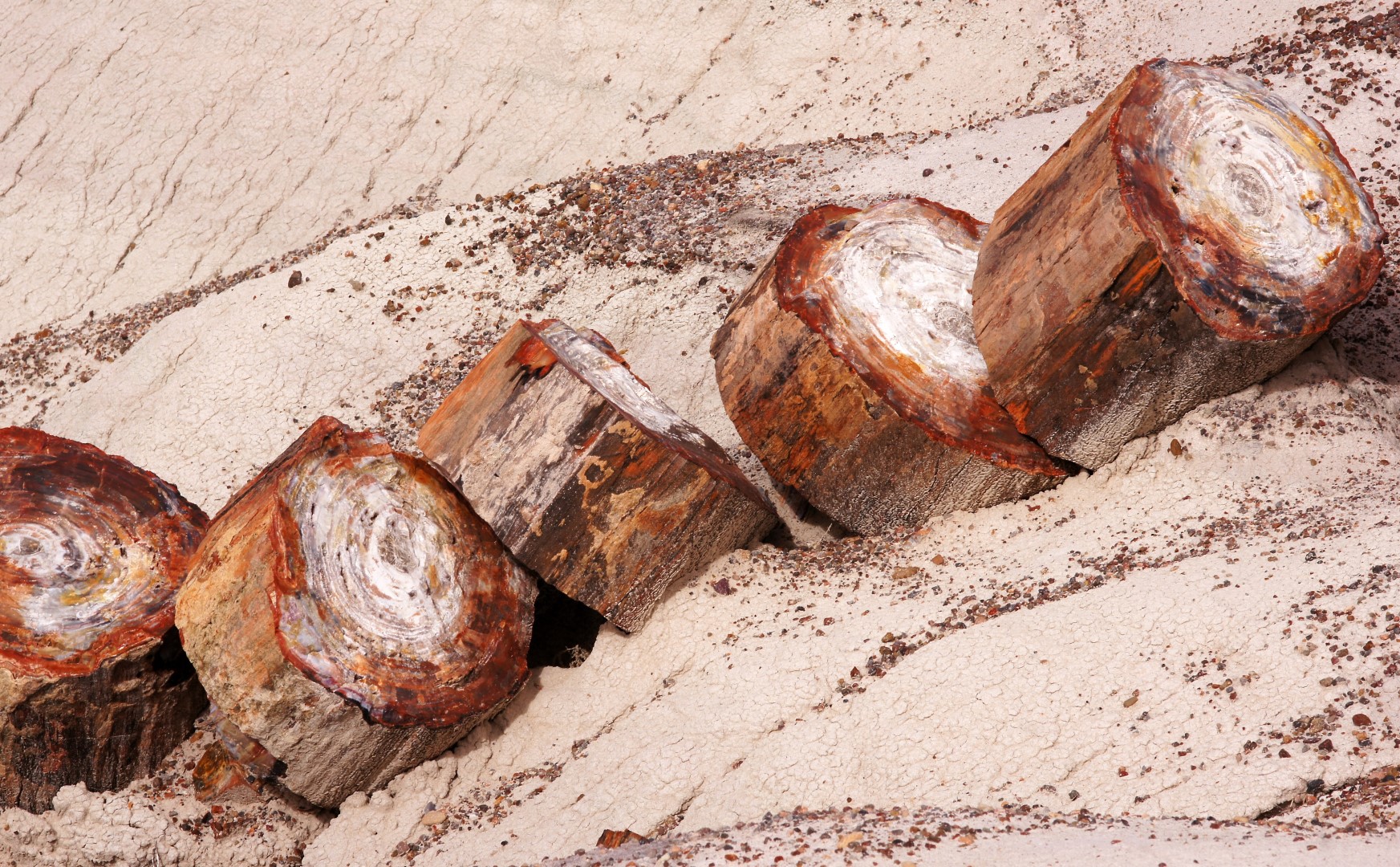
Petrified Forest National Park Topo Map in Apache County AZ

Buy This Printed Topo Map

Print map | View map legend

Map Provided by TopoZone.com


Petrified Forest National Park Information

Coordinates: 35.0809°N, -109.79628°W
Approx. Elevation: 5,325 feet (1,623 meters)
USGS Map Area: Adamana
Feature Type: Park


Nearby Parks

Feature USGS Topo Map
Territorial Government Formation Site Historical Monument Navajo Springs
Hunt Park Holbrook
The Old Fort Historical Monument Joseph City
Apache County Fairgrounds Zion Reservoir
Saint Johns City Park Saint Johns North
McHood Park Clear Creek Reservoir
Lyman Lake State Park Lyman Lake
Sunset Crossing Winslow
Winslow City Park Winslow
Hubbell Trading Post National Historic Site Ganado


Petrified Forest National Park is listed in the Parks Category for Apache County in the state of Arizona. Petrified Forest National Park is displayed on the "Adamana" USGS topo map. The latitude and longitude coordinates (GPS waypoint) of Petrified Forest National Park are 35.0809 (North), -109.79628 (West) and the approximate elevation is 5,325 feet (1,623 meters) above sea level. If you are interested in visiting Petrified Forest National Park you can print the free topographic map, terrain map, satellite/aerial images, and other maps using the link above. The location, topography, nearby roads and trails, and towns around Petrified Forest National Park (Park) can be seen in the layers of this interactive map. If you have already visited Arizona's Petrified Forest National Park in Apache County, the nearest Parks are listed above for your consideration.