Maps of the Washington Volcanoes
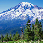
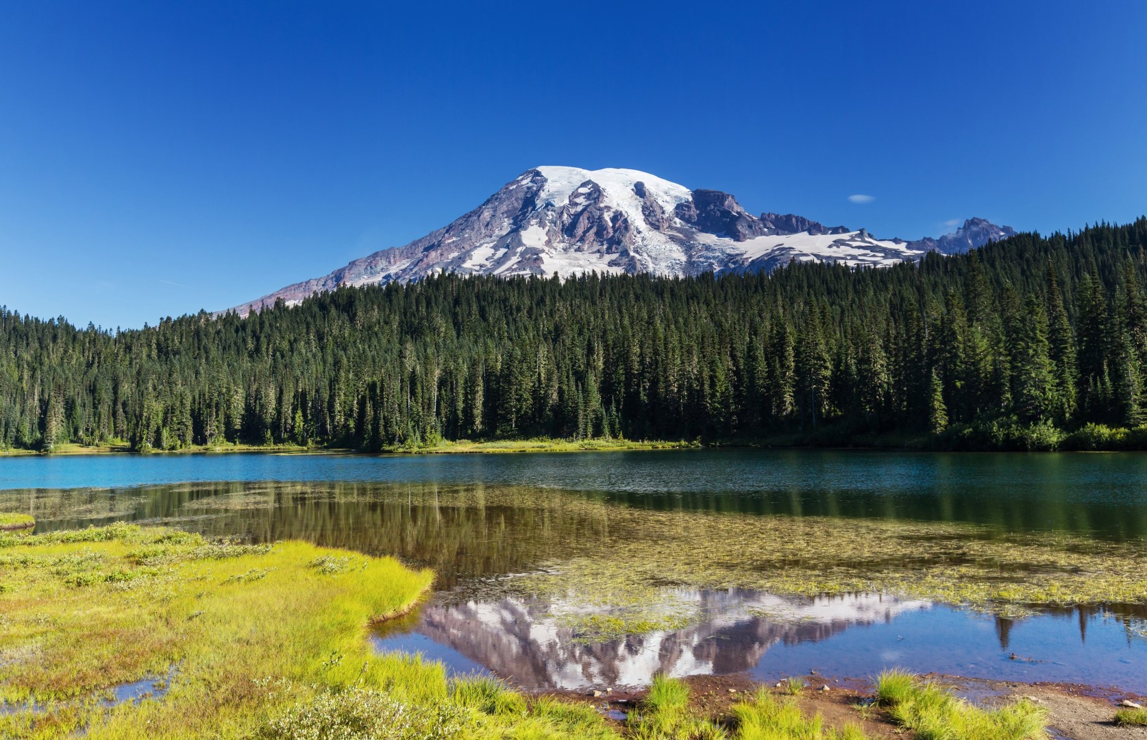
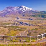
Most Washingtonians know the five main volcanoes in their state, Rainier et al. Each is visible from somewhere along the Interstate 5 corridor, the main north-south route west of the Cascade Mountain Range. But when we were researching volcanoes in Washington we were surprised to discover that there are many more. Several have been active […]