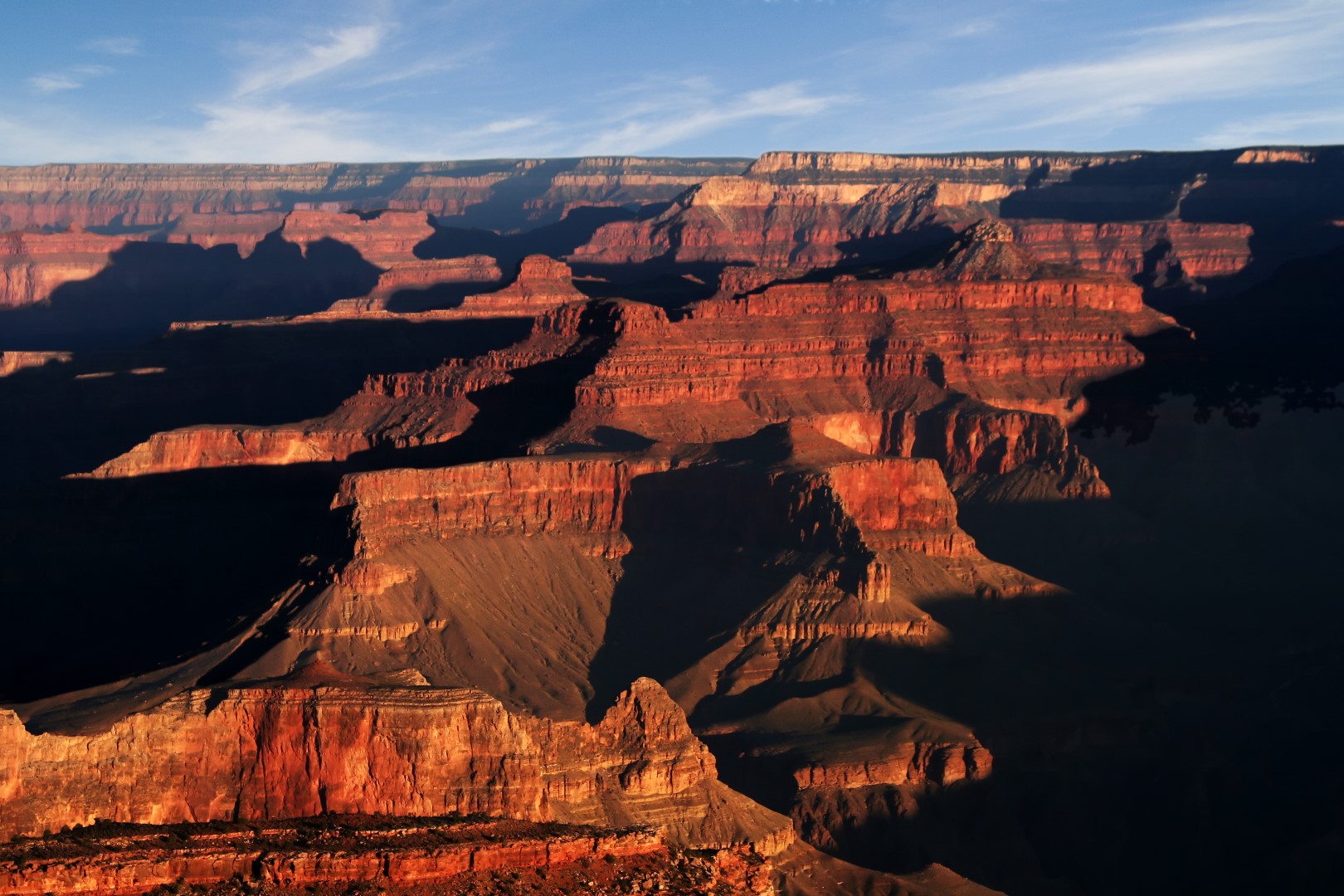
Grand Canyon National Park Topo Map in Coconino County AZ

Buy This Printed Topo Map

Print this map | View map legend

Map Provided by TopoZone.com

Grand Canyon National Park Information

Coordinates: 36.09776°N, -112.09466°W
Approx. Elevation: 5,797 feet (1,767 meters)
USGS Map Area: Shiva Temple
Feature Type: Park


Grand Canyon National Park is listed in the Parks Category for Coconino County in the state of Arizona. Grand Canyon National Park is displayed on the "Shiva Temple" USGS topo map quad. Anyone who is interested in visiting Grand Canyon National Park can view and print the free topographic map, terrain map, and other maps using the link above. The location, topography, nearby roads and trails around Grand Canyon National Park (Park) can be seen in the map layers above. The latitude and longitude coordinates (GPS waypoint) of Grand Canyon National Park are 36.09776 (North), -112.09466 (West) and the approximate elevation is 5,797 feet (1,767 meters) above sea level. If you have visited Arizona's Grand Canyon National Park in Coconino County before, please share your experience with a comment below.

Comments