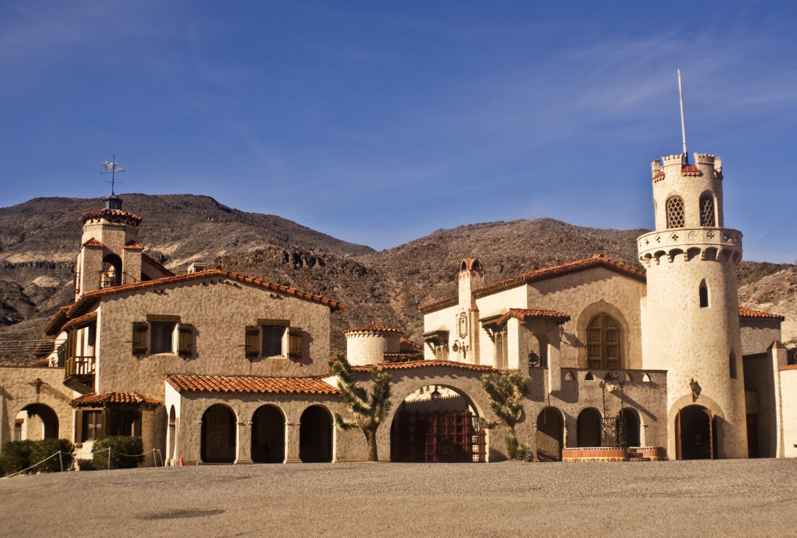
Scottys Castle Topo Map in Inyo County CA

Buy This Printed Topo Map

Print map | View map legend

Map Provided by TopoZone.com


Scottys Castle Information

Coordinates: 37.0321562°N, -117.3400707°W
Approx. Elevation: 3,005 feet (916 meters)
USGS Map Area: Scottys Castle
Feature Type: Locale


Nearby Locales

Feature USGS Topo Map
Scottys Ranch Ubehebe Crater
Grapevine Ranger Station East of Tin Mountain
Mesquite Spring Campground East of Tin Mountain
Causer Well Corral Gold Point
Strozzi Ranch (historical) Wahguyhe Peak
Mexican Camp (historical) Wahguyhe Peak
Bonnie Claire Mill Bonnie Claire NW
Thorpe Mill (historical) Bonnie Claire
Stateline Mill Gold Point SW
Midway Bonnie Claire SE


Scotty’s Castle was built in the 1920s as a lavish vacation home for a wealthy couple from Chicago. It is now part of Death Valley National Park and even has a visitor center in one of the buildings. The name comes from a con man, Walter Scott, who told others that he built the castle with profits from local mines. In late 2015 the castle was hit by a 100 year flood that deposited mud and rocks feet deep in many places. Roads to Scotty’s Castle were destroyed as well. It is not expected to open until 2019 at the earliest.

Scottys Castle is listed in the Locales Category for Inyo County in the state of California. Scottys Castle is displayed on the "Scottys Castle" USGS topo map. The latitude and longitude coordinates (GPS waypoint) of Scottys Castle are 37.0321562 (North), -117.3400707 (West) and the approximate elevation is 3,005 feet (916 meters) above sea level. If you are interested in visiting Scottys Castle you can print the free topographic map, terrain map, satellite/aerial images, and other maps using the link above. The location, topography, nearby roads and trails, and towns around Scottys Castle (Locale) can be seen in the layers of this interactive map. If you have already visited California's Scottys Castle in Inyo County, the nearest Locales are listed above for your consideration.