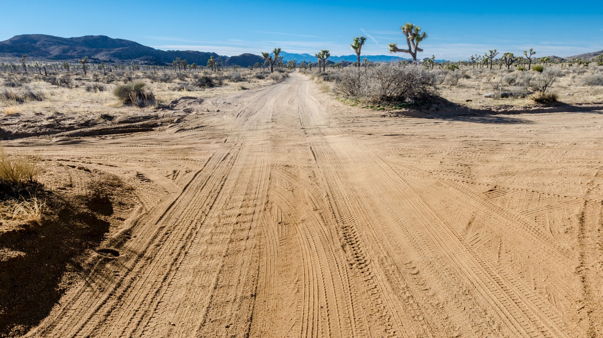
Eastern Kern County Onyx Ranch SVRA Topo Map in Kern County CA

Buy This Printed Topo Map

Print map | View map legend

Map Provided by TopoZone.com


Eastern Kern County Onyx Ranch SVRA Information

Coordinates: 35.33302°N, -118.02125°W
Approx. Elevation: 2,800 feet (853 meters)
USGS Map Area: Cinco
Feature Type: Park


Nearby Parks

Feature USGS Topo Map
Red Rock Canyon State Park Cantil
Desert Tortoise Preserve California City North
Garlock Historical Marker Garlock
Balsitis Park California City North
B Park Galileo Hill
Central Park California City North
J Kerman Cooper Field California City North
Borax Bill Park Galileo Hill
Galileo Park Galileo Hill
I Park Galileo Hill


Eastern Kern County Onyx Ranch SVRA is the newest California State Vehicle Recreation Area. It’s located east of Bakersfield and northwest of Barstow at the edge of the Mojave Desert. While it is probably unsigned from Highway 14, the turnoffs into this off-roading and 4×4 area are north and south of Red Rock Canyon State Park. Just turn west onto roads that lead into Jawbone Canyon and Dove Spring Canyon.

Eastern Kern County Onyx Ranch SVRA is listed in the Parks Category for Kern County in the state of California. Eastern Kern County Onyx Ranch SVRA is displayed on the "Cinco" USGS topo map. The latitude and longitude coordinates (GPS waypoint) of Eastern Kern County Onyx Ranch SVRA are 35.33302 (North), -118.02125 (West) and the approximate elevation is 2,800 feet (853 meters) above sea level. If you are interested in visiting Eastern Kern County Onyx Ranch SVRA you can print the free topographic map, terrain map, satellite/aerial images, and other maps using the link above. The location, topography, nearby roads and trails, and towns around Eastern Kern County Onyx Ranch SVRA (Park) can be seen in the layers of this interactive map. If you have already visited California's Eastern Kern County Onyx Ranch SVRA in Kern County, the nearest Parks are listed above for your consideration.