Mojave Lava Tube Topo Map in San Bernardino County CA

Buy This Printed Topo Map

Print map | View map legend

Map Provided by TopoZone.com


Mojave Lava Tube Information

Coordinates: 35.21638°N, -115.75133°W
Approx. Elevation: 3,640 feet (1,109 meters)
USGS Map Area: Indian Spring
Feature Type: Lava


Nearby Lavas

Feature USGS Topo Map
Cinder Cone Lava Beds Indian Spring
Lava Hills Siberia
Volcanic Tableland Fish Slough
San Francisco Volcanic Field (historical) East of S P Mountain
Bonito Lava Flow Sunset Crater West
Kana-a Lava Flow Strawberry Crater
Pinacate Lava Flow Las Playas
The Cinders Tabernacle Hill
The Lava Beds Dead Horse Canyon


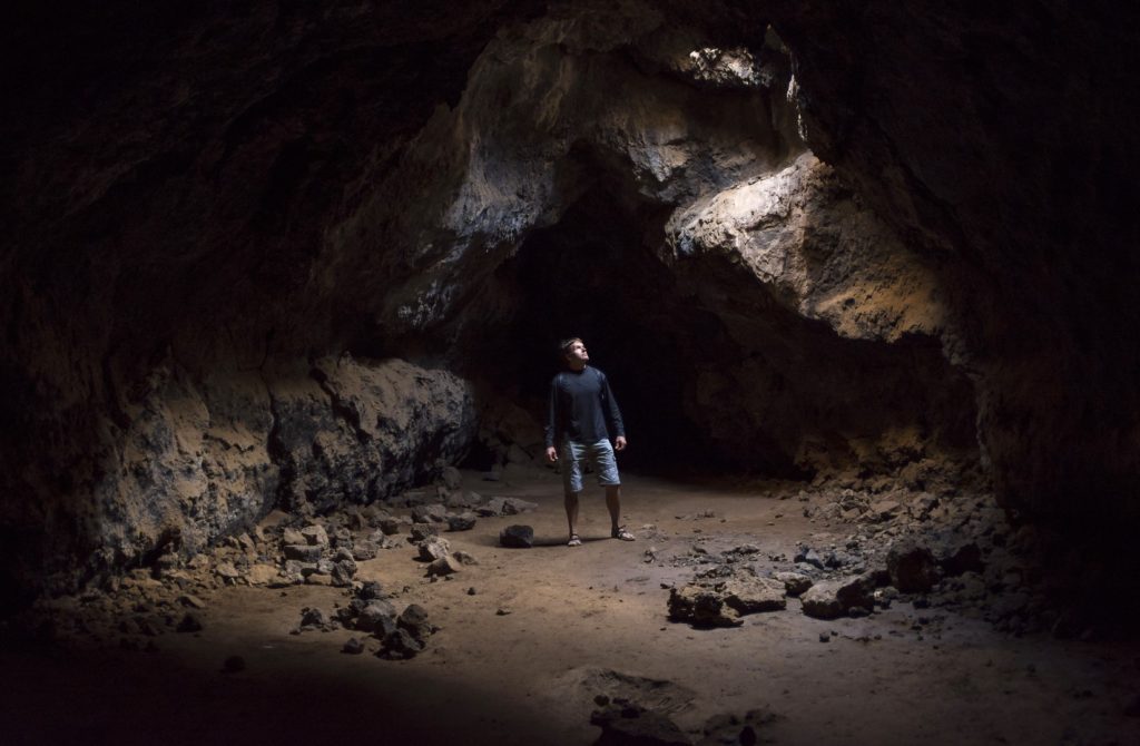
The Mojave Lava Tube is part of Mojave National Preserve east of Barstow, CA. The tubes are near a cinder cone that is part of Cinder Cone National Natural Landmark. To get here turn east onto Kelbaker Road from the town of Baker on I-15. Then turn north onto the Aiken Mine Road.

Mojave Lava Tube is listed in the Lavas Category for San Bernardino County in the state of California. Mojave Lava Tube is displayed on the "Indian Spring" USGS topo map. The latitude and longitude coordinates (GPS waypoint) of Mojave Lava Tube are 35.21638 (North), -115.75133 (West) and the approximate elevation is 3,640 feet (1,109 meters) above sea level. If you are interested in visiting Mojave Lava Tube you can print the free topographic map, terrain map, satellite/aerial images, and other maps using the link above. The location, topography, nearby roads and trails, and towns around Mojave Lava Tube (Lava) can be seen in the layers of this interactive map. If you have already visited California's Mojave Lava Tube in San Bernardino County, the nearest Lavas are listed above for your consideration.