Hearst Castle Information
Coordinates: 35.68581°N, -121.16844°W
Approx. Elevation: 1,600 feet (488 meters)
USGS Map Area: San Simeon
Feature Type: Locale
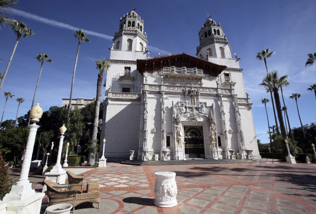


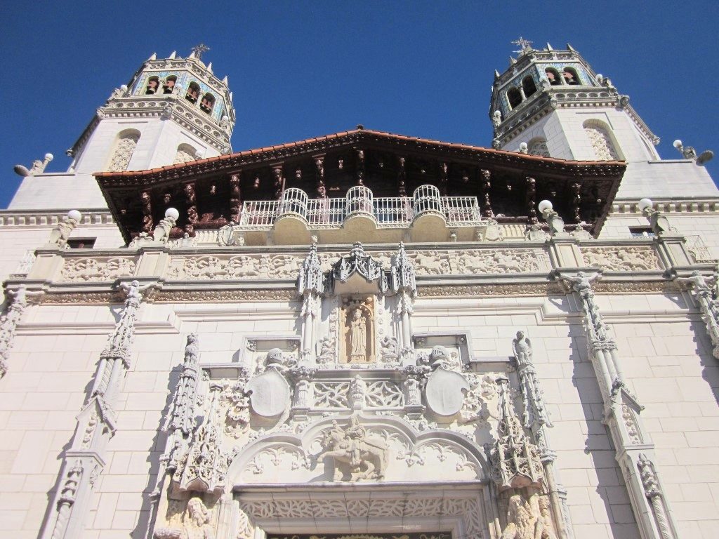
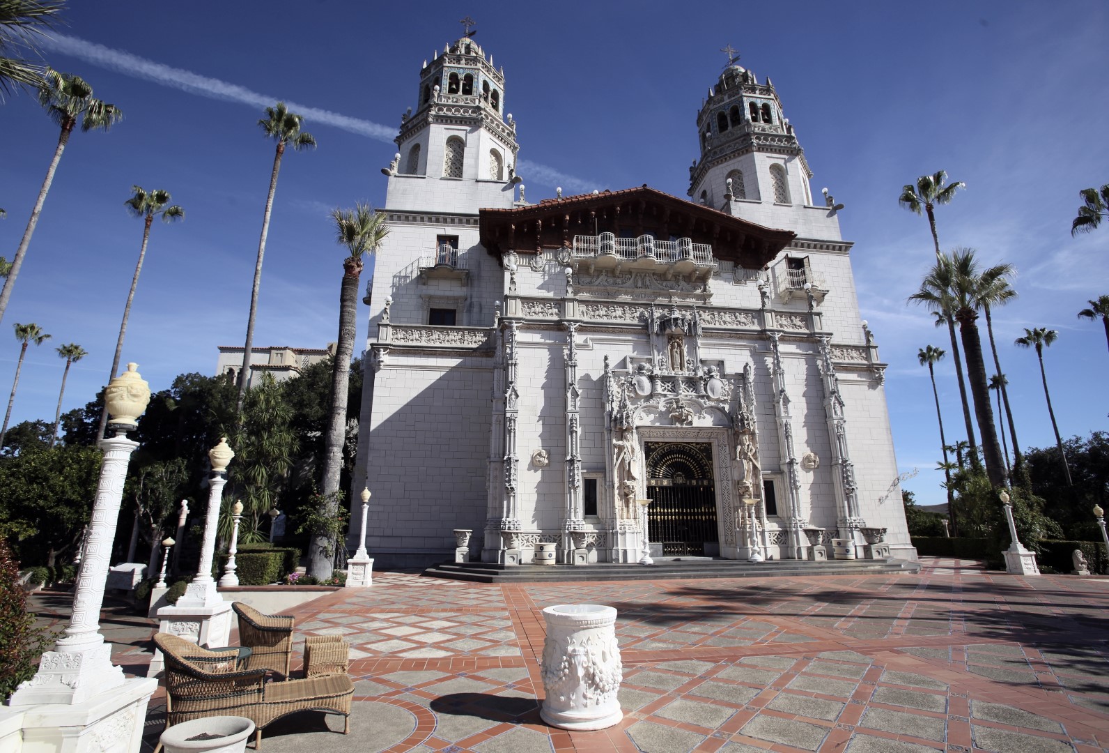
The topography of the hill that Hearst Castle was constructed on is nearly as magnificent as the castle itself. Well not really, but William Hearst sure picked an incredible place to build such an opulent home. The vast property around the castle was used for a private zoo during William’s tenure there.
Hearst Castle is now a state park with many visitors, but they are not allowed to hike the property. It’s too bad as the rolling hills in this part of San Luis Obispo County are prime for hiking. Harmony Headlands State Park nearby is probably your best bet to satisfy that urge to hike the coastal hills here.
Below the castle there’s a beach that bears the Hearst name too and it’s also magnificent. This beach is protected from the west by San Simeon Point so it’s ideal for kayaking and stand-up paddleboarding.
If you haven’t visited the castle or explored the nearby “SLO Coast” then add it to your bucket list. You won’t be disappointed.
Hearst Castle is listed in the Locales Category for San Luis Obispo County in the state of California. Hearst Castle is displayed on the "San Simeon" USGS topo map. The latitude and longitude coordinates (GPS waypoint) of Hearst Castle are 35.68581 (North), -121.16844 (West) and the approximate elevation is 1,600 feet (488 meters) above sea level. If you are interested in visiting Hearst Castle you can print the free topographic map, terrain map, satellite/aerial images, and other maps using the link above. The location, topography, nearby roads and trails, and towns around Hearst Castle (Locale) can be seen in the layers of this interactive map. If you have already visited California's Hearst Castle in San Luis Obispo County, the nearest Locales are listed above for your consideration.