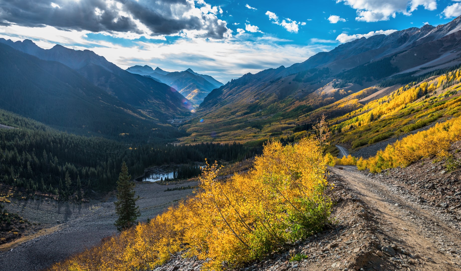
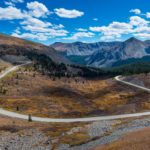
Ophir Pass Topo Map in San Miguel County CO

Buy This Printed Topo Map

Print map | View map legend

Map Provided by TopoZone.com


Ophir Pass Information

Coordinates: 37.8505508°N, -107.7795075°W
Approx. Elevation: 11,789 feet (3,593 meters)
USGS Map Area: Ophir
Feature Type: Gap


Nearby Gaps

Feature USGS Topo Map
Red Mountain Pass Ironton
Imogene Pass Ironton
Lizard Head Pass Mount Wilson
Richmond Pass Ironton
Molas Pass Snowdon Peak
Sunnyside Saddle Handies Peak
Blue Lake Pass Telluride
Coal Bank Pass Engineer Mountain
Bolam Pass Hermosa Peak
Stony Pass Howardsville


Ophir Pass is listed in the Gaps Category for San Miguel County in the state of Colorado. Ophir Pass is displayed on the "Ophir" USGS topo map. The latitude and longitude coordinates (GPS waypoint) of Ophir Pass are 37.8505508 (North), -107.7795075 (West) and the approximate elevation is 11,789 feet (3,593 meters) above sea level. If you are interested in visiting Ophir Pass you can print the free topographic map, terrain map, satellite/aerial images, and other maps using the link above. The location, topography, nearby roads and trails, and towns around Ophir Pass (Gap) can be seen in the layers of this interactive map. If you have already visited Colorado's Ophir Pass in San Miguel County, the nearest Gaps are listed above for your consideration.