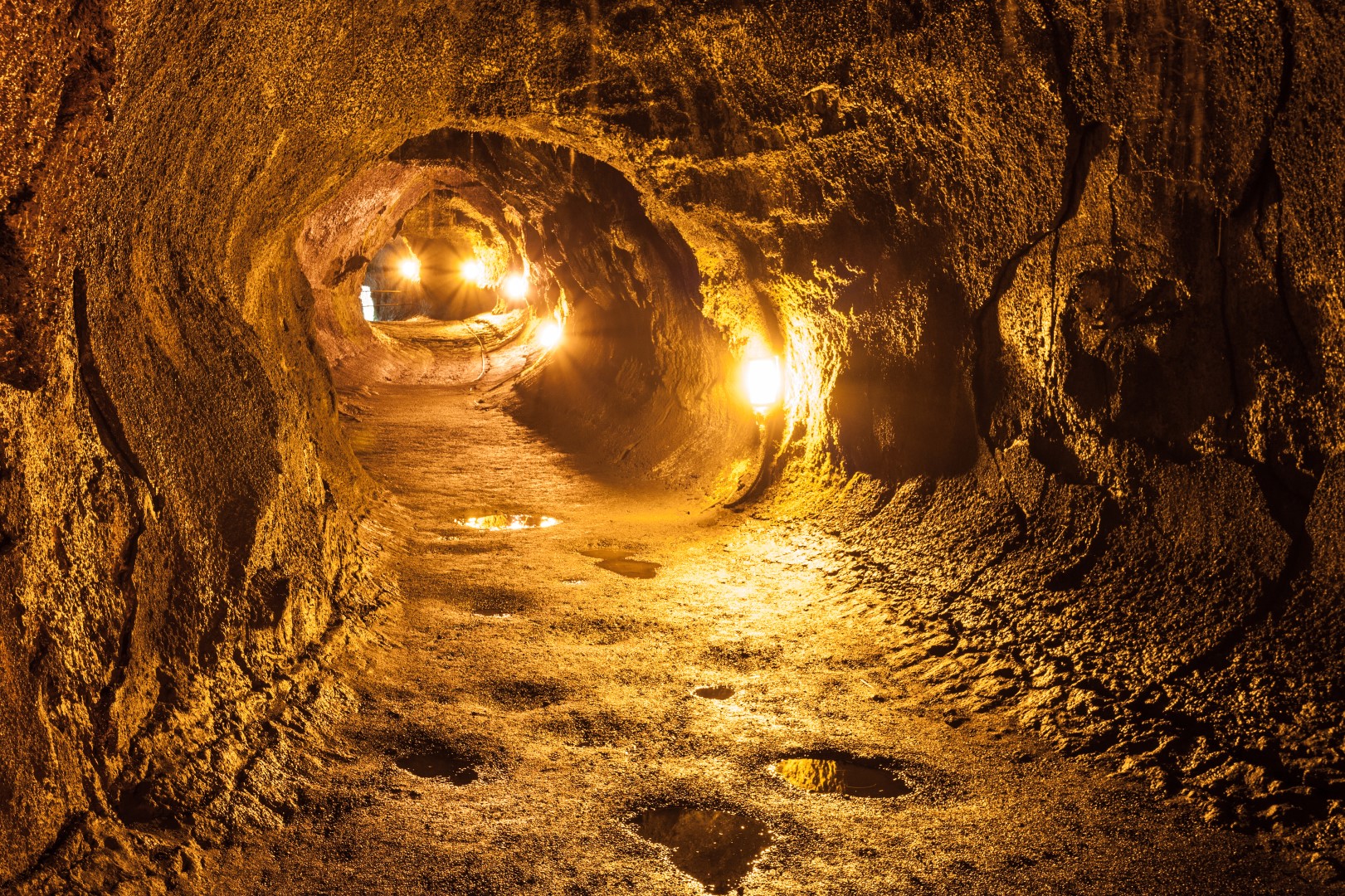
Thurston Lava Tube Topo Map in Big Island County HI

Buy This Printed Topo Map

Print map | View map legend

Map Provided by TopoZone.com


Thurston Lava Tube Information

Coordinates: 19.41405°N, -155.2388°W
Approx. Elevation: 3,900 feet (1,189 meters)
USGS Map Area: Volcano
Feature Type: Lava


Nearby Lavas

Feature USGS Topo Map
Lava Flow of 1959 Kilauea Crater
Lava Flow of 1919 Kilauea Crater
Lava Flow of 1954 Kilauea Crater
Lava Flow of 1974 Kilauea Crater
Lava Flow of 1921 Kilauea Crater
Lava Flow of 1972 Makaopuhi Crater
Kipukapuaulu Kilauea Crater
Lava Flow of 1923 Makaopuhi Crater
Keamuku Lava Flow Kilauea Crater
Kipukaki Kilauea Crater


Thurston Lava Tube is listed in the Lavas Category for Big Island County in the state of Hawaii. Thurston Lava Tube is displayed on the "Volcano" USGS topo map. The latitude and longitude coordinates (GPS waypoint) of Thurston Lava Tube are 19.41405 (North), -155.2388 (West) and the approximate elevation is 3,900 feet (1,189 meters) above sea level. If you are interested in visiting Thurston Lava Tube you can print the free topographic map, terrain map, satellite/aerial images, and other maps using the link above. The location, topography, nearby roads and trails, and towns around Thurston Lava Tube (Lava) can be seen in the layers of this interactive map. If you have already visited Hawaii's Thurston Lava Tube in Big Island County, the nearest Lavas are listed above for your consideration.