The Unique Natural Domes in America
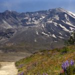
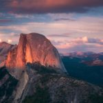
Rock domes are in and of themselves unique, but we wanted to find the most unique domes in the country. Almost everyone has seen or taken pictures of iconic Half Dome as it stands tall in one of the most popular national parks in the US. But there are many other geologically created domes around […]