Hells Canyon Topo Map in Idaho County ID
Hells Canyon Information
Coordinates: 45.3712705°N, -116.6381993°W
Approx. Elevation: 1,375 feet (419 meters)
USGS Map Area: Squirrel Prairie
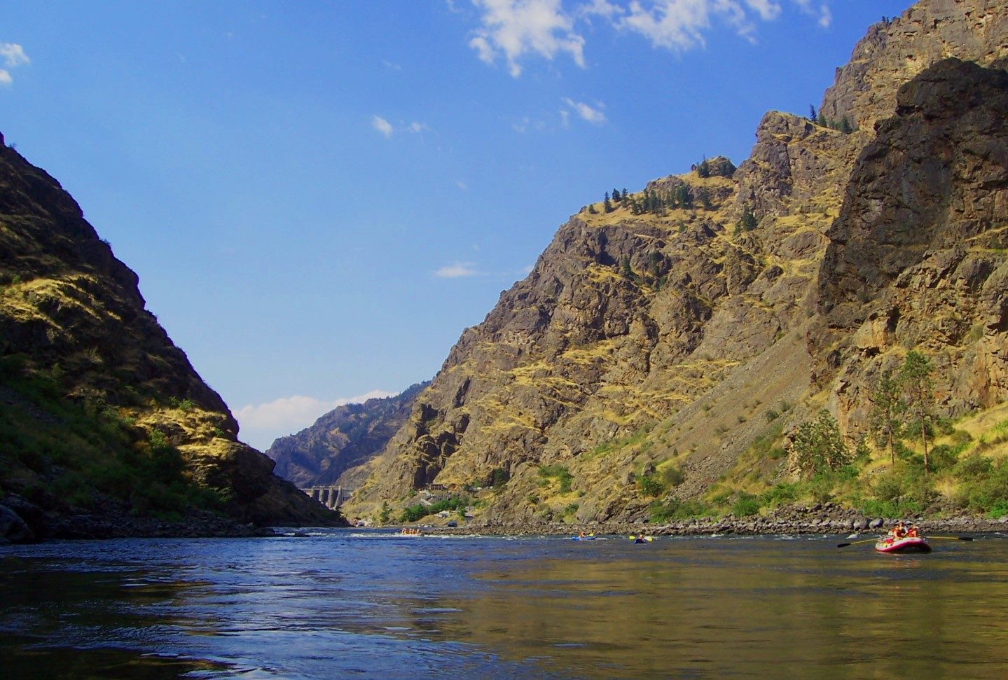
Feature Type: Valley
Nearby Valleys
| Feature | USGS Topo Map |
|---|---|
| Coon Gulch | Squirrel Prairie |
| Smooth Hollow | Old Timer Mountain |
| Slaughter Gulch | Squirrel Prairie |
| Weinheimer Gulch | Old Timer Mountain |
| Saddle Gulch | Jaynes Ridge |
| Saddle Gulch | Old Timer Mountain |
| Anderson Gulch | White Monument |
| Neil Canyon | Jaynes Ridge |
| Red Gulch | White Monument |
| Cold Canyon | Sheep Creek Divide |
Hells Canyon is listed in the Valleys Category for Idaho County in the state of Idaho. Hells Canyon is displayed on the "Squirrel Prairie" USGS topo map. The latitude and longitude coordinates (GPS waypoint) of Hells Canyon are 45.3712705 (North), -116.6381993 (West) and the approximate elevation is 1,375 feet (419 meters) above sea level. If you are interested in visiting Hells Canyon you can print the free topographic map, terrain map, satellite/aerial images, and other maps using the link above. The location, topography, nearby roads and trails, and towns around Hells Canyon (Valley) can be seen in the layers of this interactive map. If you have already visited Idaho's Hells Canyon in Idaho County, the nearest Valleys are listed above for your consideration.