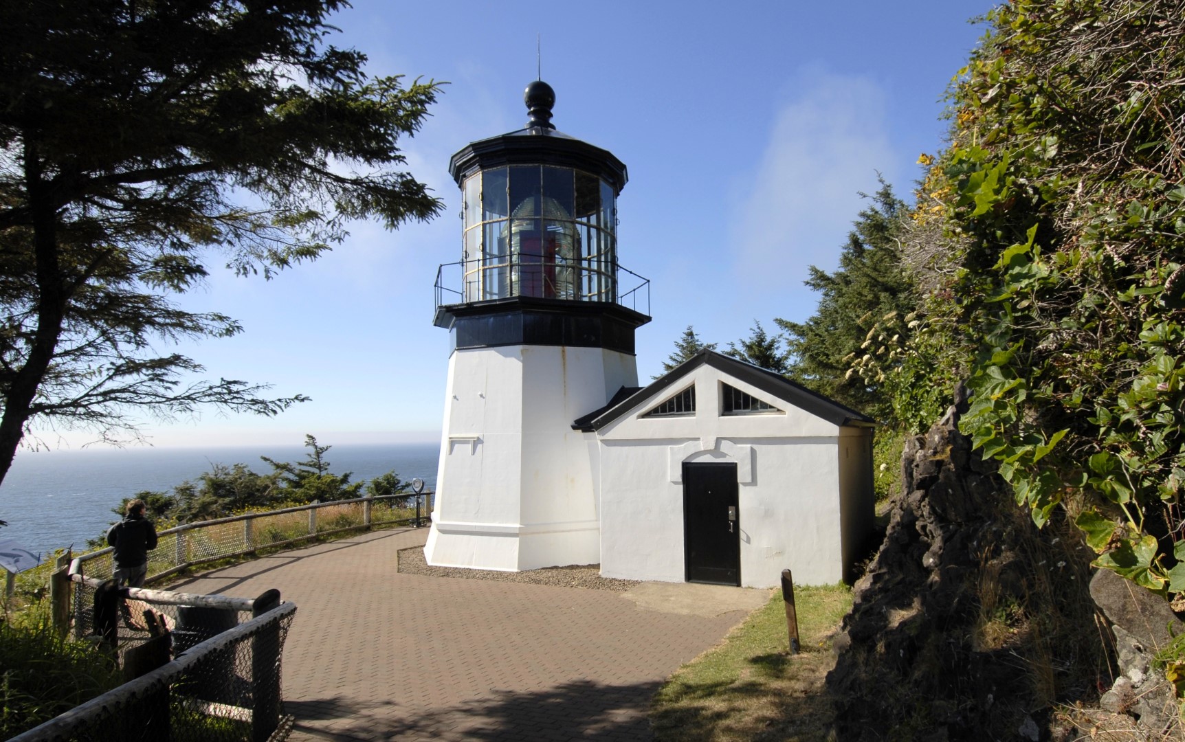
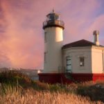
Cape Meares State Scenic Viewpoint Topo Map in Tillamook County OR

Buy This Printed Topo Map

Print map | View map legend

Map Provided by TopoZone.com


Cape Meares State Scenic Viewpoint Information

Coordinates: 45.485921°N, -123.974276°W
Approx. Elevation: 338 feet (103 meters)
USGS Map Area: Netarts
Feature Type: Lighthouse


Cape Meares Lighthouse

Cape Meares State Scenic Viewpoint is listed in the Lighthouses Category for Tillamook County in the state of Oregon. Cape Meares State Scenic Viewpoint is displayed on the "Netarts" USGS topo map. The latitude and longitude coordinates (GPS waypoint) of Cape Meares State Scenic Viewpoint are 45.485921 (North), -123.974276 (West) and the approximate elevation is 338 feet (103 meters) above sea level. If you are interested in visiting Cape Meares State Scenic Viewpoint you can print the free topographic map, terrain map, satellite/aerial images, and other maps using the link above. The location, topography, nearby roads and trails, and towns around Cape Meares State Scenic Viewpoint (Lighthouse) can be seen in the layers of this interactive map. If you have already visited Oregon's Cape Meares State Scenic Viewpoint in Tillamook County, the nearest Lighthouses are listed above for your consideration.