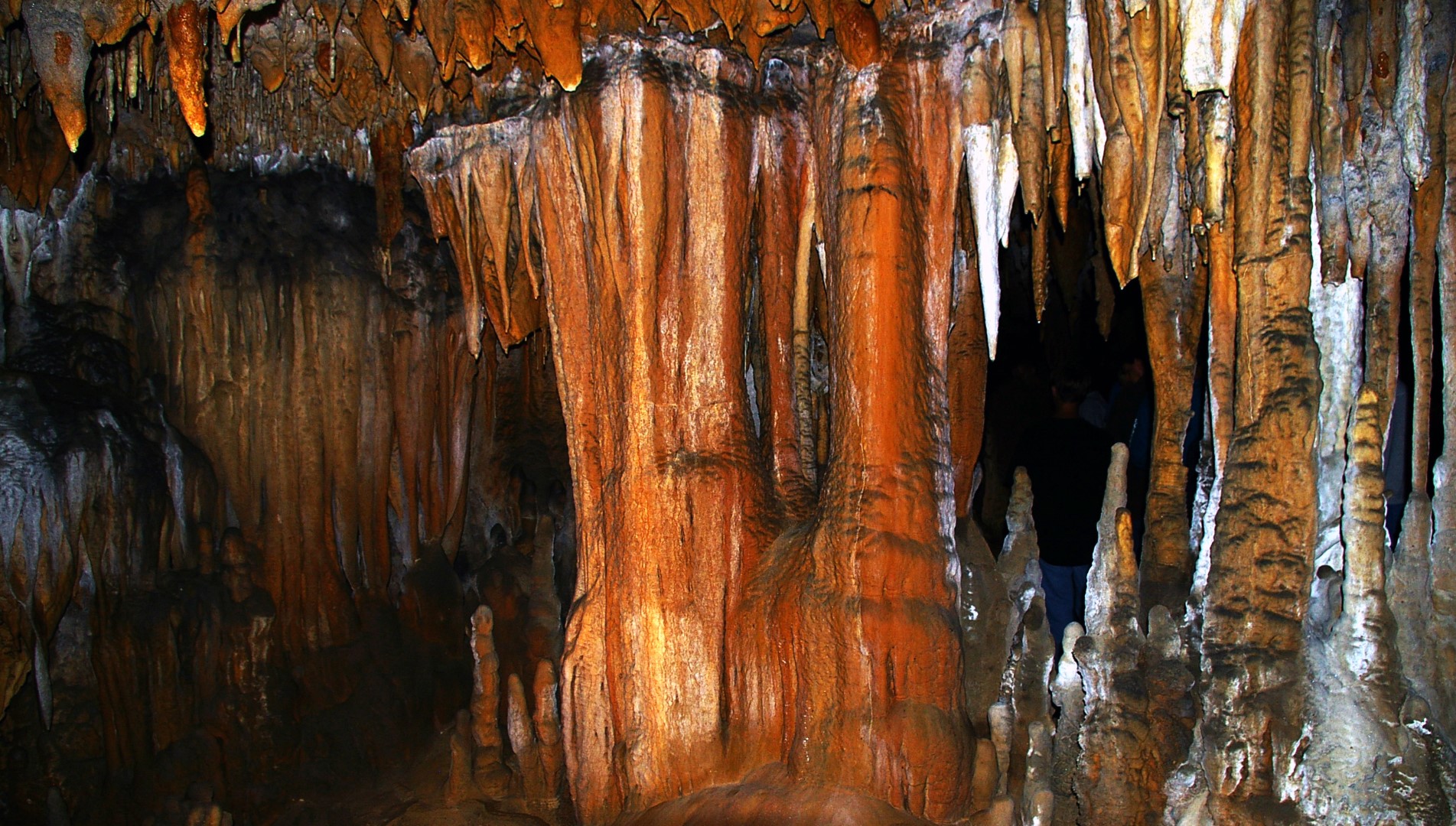
37 Best Caverns in the US
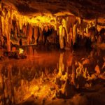
Hell is metaphorically described as a horrific location underground. And while we know this isn’t true, areas underground are dark and eerie enough to seem hellish (but much colder!). The photo above is of Mirror Pond in Luray Caverns which resembles some artists’ depictions of a mythical hell. Crystal Cave If you’ve ever been inside a cavern, […]