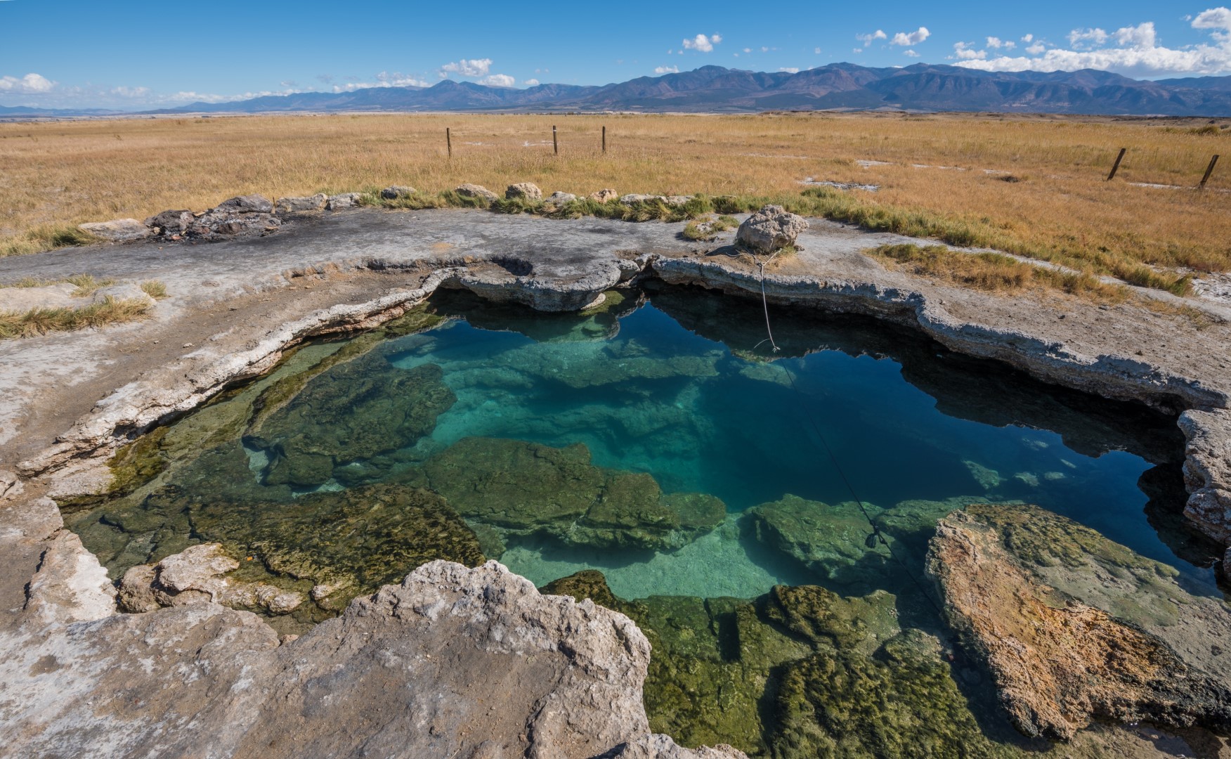
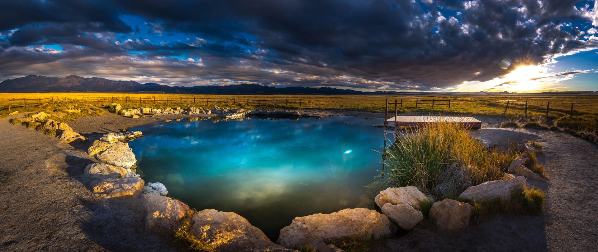
Meadow Hot Springs Topo Map in Millard County UT

Buy This Printed Topo Map

Print map | View map legend

Map Provided by TopoZone.com


Meadow Hot Springs Information

Coordinates: 38.8637367°N, -112.5079704°W
Approx. Elevation: 4,767 feet (1,453 meters)
USGS Map Area: Sixmile Point
Feature Type: Hot Springs


Nearby Hot Springs

Feature USGS Topo Map
Hot Spring Kanosh
Squidike Spring Tabernacle Hill
Frank Barney Spring Kanosh
Mortensen Spring Sunset Peak
Dual Springs Kanosh
Corn Creek Bench Spring Kanosh
John Watts Spring Kanosh
First Creek Spring Red Ridge
Staples Spring Red Ridge
Leavitts Spring Sunset Peak


This is one of three pools at Meadow Hot Springs and it is deep enough to scuba dive in!

The setting at Meadow Hot Springs is difficult to beat. Distant Mountains in all directions and wide open spaces near the springs. What a great spot for a sunset.

Meadow Hot Springs is listed in the Hot Springs Category for Millard County in the state of Utah. Meadow Hot Springs is displayed on the "Sixmile Point" USGS topo map. The latitude and longitude coordinates (GPS waypoint) of Meadow Hot Springs are 38.8637367 (North), -112.5079704 (West) and the approximate elevation is 4,767 feet (1,453 meters) above sea level. If you are interested in visiting Meadow Hot Springs you can print the free topographic map, terrain map, satellite/aerial images, and other maps using the link above. The location, topography, nearby roads and trails, and towns around Meadow Hot Springs (Hot Springs) can be seen in the layers of this interactive map. If you have already visited Utah's Meadow Hot Springs in Millard County, the nearest Hot Springs are listed above for your consideration.