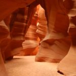
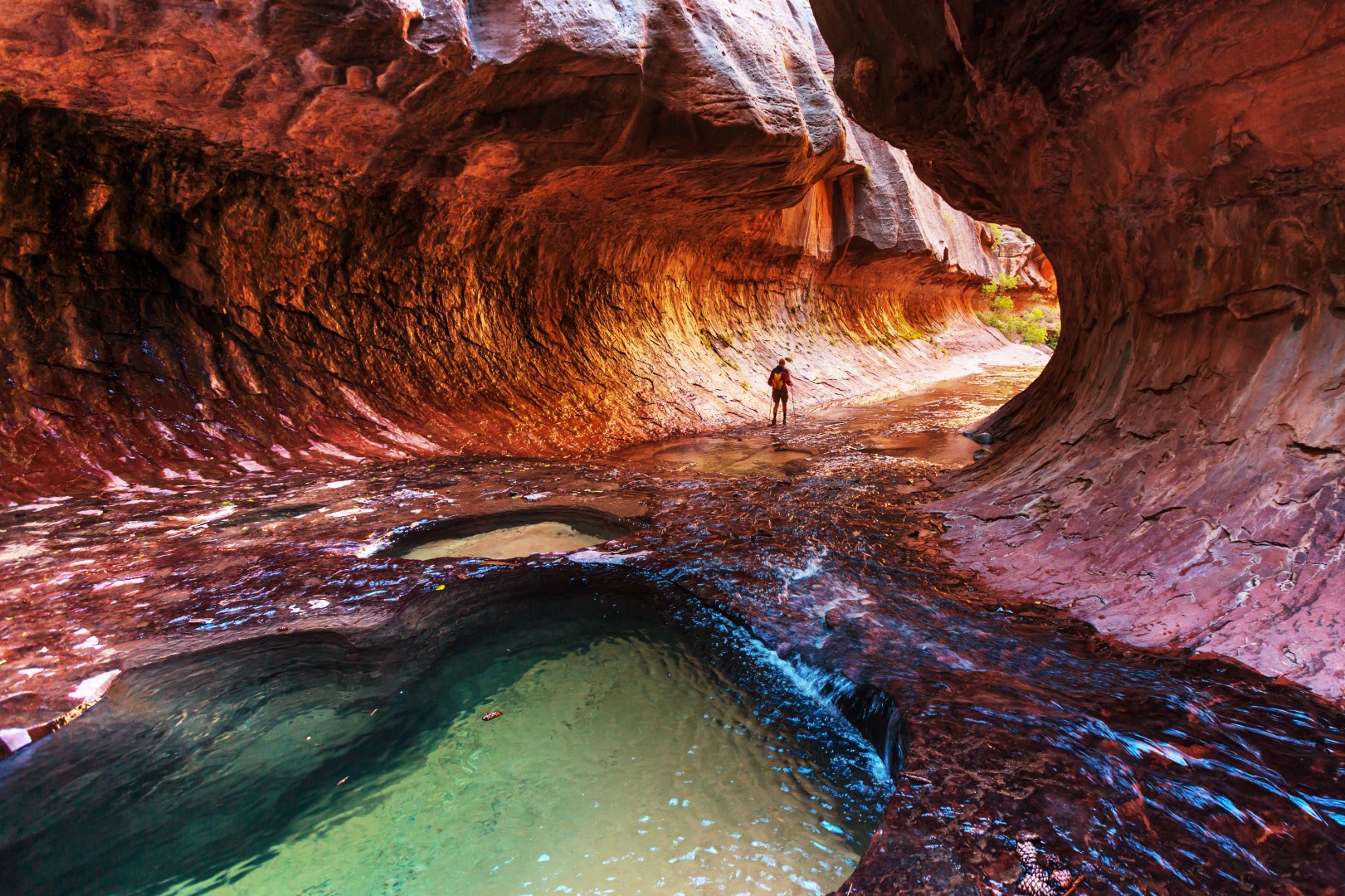
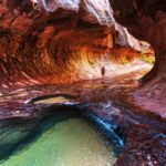
The Subway, Zion National Park Topo Map in Washington County UT

Buy This Printed Topo Map

Print map | View map legend

Map Provided by TopoZone.com


The Subway, Zion National Park Information

Coordinates: 37.30949°N, -113.05224°W
Approx. Elevation: 5,360 feet (1,634 meters)
USGS Map Area: The Guardian Angels
Feature Type: Gap


Nearby Gaps

Feature USGS Topo Map
Guardian Angel Pass The Guardian Angels
The Narrows, Zion National Park Temple of Sinawava
Deer Trap Temple of Sinawava
Lee Pass Kolob Arch
Dutton Pass Smithsonian Butte
Low Pass New Harmony
Harrisburg Gap Harrisburg Junction
The Saddle Navajo Lake
Canaan Gap Smithsonian Butte
Elephant Gap Elephant Butte


The Subway, Zion National Park is listed in the Gaps Category for Washington County in the state of Utah. The Subway, Zion National Park is displayed on the "The Guardian Angels" USGS topo map. The latitude and longitude coordinates (GPS waypoint) of The Subway, Zion National Park are 37.30949 (North), -113.05224 (West) and the approximate elevation is 5,360 feet (1,634 meters) above sea level. If you are interested in visiting The Subway, Zion National Park you can print the free topographic map, terrain map, satellite/aerial images, and other maps using the link above. The location, topography, nearby roads and trails, and towns around The Subway, Zion National Park (Gap) can be seen in the layers of this interactive map. If you have already visited Utah's The Subway, Zion National Park in Washington County, the nearest Gaps are listed above for your consideration.